Revealing my spaciness on the 45th anniversary of Apollo 11
Posted: July 20, 2014 Filed under: Memories | Tags: Apollo 11, National Geographic map of the heavens, National Geographic moon maps 2 CommentsLest you think of me as all afghans and tablecloths, dishes and kitchen doodads, here’s a glimpse into my inner geek. I grew up as a child of the Space Age when CBS ruled the airwaves with NASA mission coverage. Astronauts were national heroes. People thought a New Age (Aquarius!) was dawning when space travel would be routine and we’d all wear silver jumpsuits and own flying cars. (Most recently I followed Canadian Chris Hadfield when he was Commander of the ISS. Check him out on YouTube.)
So when we downsized my parents’ house not too long ago, I claimed all the space-related paper stuff. One piece was this 1969 National Geographic map of the Moon. (click to make all these photos bigger)
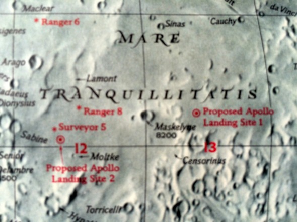
I’m guessing this map was drawn before July 1969 because it clearly shows all the potential sites of the first Apollo landing:
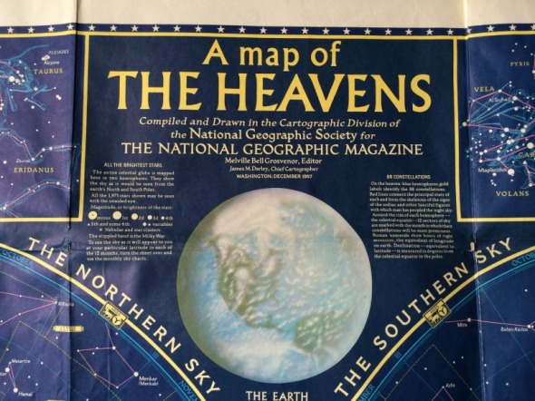
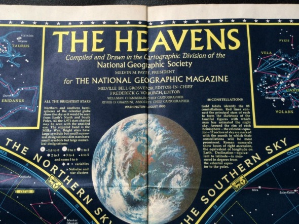
It’s also fun (to me) and interesting to compare the images of the Earth and Moon from various maps. Here’s a map from 1957:
How about a closeup of that Earth:
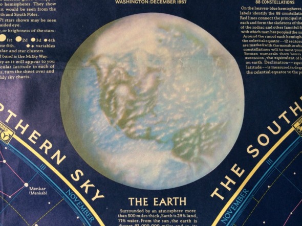
Just think–no one had seen the Earth from space when this map was drawn. No one! No global weather satellites, either. That’s why the clouds look so improbable.
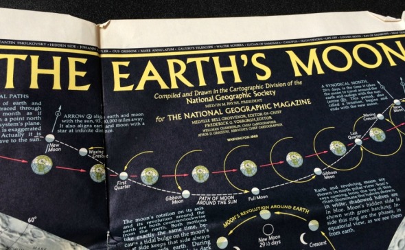
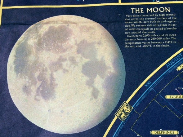
Here’s the freshly updated map from 1970, following the historic Moon landing. It’s still an artist’s drawing and shows Earth in partial shadow. (The world-famous Blue Marble shot of the entire Earth wasn’t taken until the Apollo 17 mission in 1972. Until then, no astronaut saw Earth completely illuminated. Betcha didn’t know that. Me either! I had to look it up. The Blue Marble shot made front pages of newspapers all around the world.)
The drawings of the Moon in both maps are vastly different, too.

The wonder of new 1970s technology shows up in this detailed drawing. The Moon’s surface is pitted like a cantaloupe!
Today a photo of Earth from space wouldn’t make the front page unless it showed a massively devastating asteroid impact. The concept of “front page” barely even makes sense.
I still don’t have a flying car. I wouldn’t be caught dead in a silver jumpsuit. But I’m glad I grew up when space travel was a dangerous adventure and guys like Neil Armstrong, Buzz Aldrin and Michael Collins risked their lives to step out into the unknown.
I’ll never forget that summer day when everyone, everywhere around the world, was glued to a TV, watching Walter Cronkite commenting on the grainy pictures coming from the Moon. I remember being really confused because the TV signal was upside down at first!
What do you remember about the Moon landing on July 20, 1969?


Before I even knew I would have a baby boy, I knew that any potential son of mine was going to have a bedroom decorated in a vintage space theme. Well, now I do and now it is and I love it! I appreciate that you mentioned that nobody had actually photographed the Earth illuminated until 1972–that never occurred to me and is a fascinating thought.
I remember how Dad made sure we watched it with him, huddled in front of that little black & white TV because it was A Big Deal. And yes, how the picture was confusingly upside down at first!